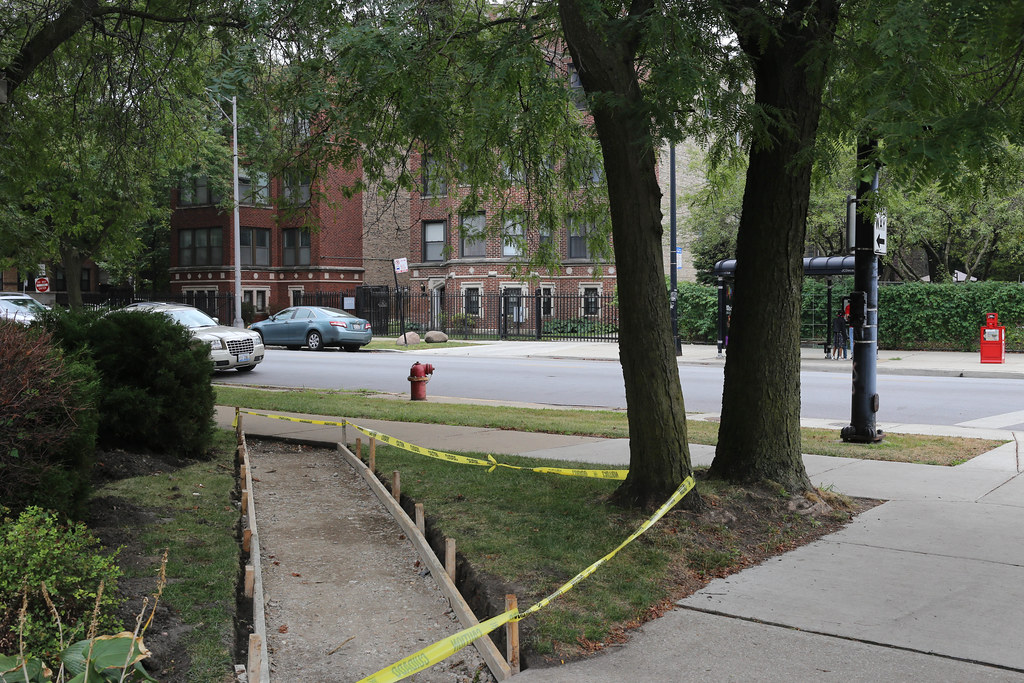
Clogged with traffic and lined with iconic theaters, corporate headquarters, mom and pop shops, and apartments of every vintage and state of repair, it’s hard to imagine now that New York City’s Broadway was once a single-track trail cut into the brush by Native Americans. But that’s exactly what it was—a humble trail that snaked between swamps and hills, connecting settlements that ran the 13-mile length of what is now Manhattan.
Today, the Wickquasgeck Trail—since widened, paved, and undercut by subway tunnels— is widely recognized as the oldest desire path in the U.S. But what is a desire path exactly? And why are they so important to transportation planning, especially when it comes to pedestrian infrastructure like sidewalks and crosswalks? Read on.
Cow paths and elephant trails
You may not have realized it at the time, but chances are good that you’ve taken a desire path at some point. Also known as cow paths, pirate paths, Olifantenpad (elephant trails), and more, desire paths can be defined as “paths and tracks made over time by the wishes and feet of walkers, especially those paths that run contrary to design or planning.”
These unsanctioned routes can form for all sorts of reasons. Often, they represent shortcuts—straight, efficient lines between destinations that aren’t well-served by the existing pedestrian network. Other times, they are created for an experiential reason, like wanting to walk closer to a waterfront, or to be in the shade. Academics have even argued they can stem from civil disobedience, from people rejecting being told where to go.
Comply or defy
Regardless of where they came from, the fact is they’re everywhere—often to the dismay of urban planners and landscape designers who have worked to establish what are, in their view, the best travel routes. Frequently, their response is to rig up physical barriers and signage designed to deter people from veering off-course, but, as you might expect, these are often ignored.
Some planners, however, are taking a different tack. Rather than trying to steer pedestrians toward a prescribed route, they are taking their disregard as a form of user feedback, as something to consider as they map and pave official routes.
In Finland, for example, city planners have made a habit of visiting their parks immediately after the first snowfall to document where people are walking when existing paths aren’t visible, and then integrate that data into their trail system planning. Colleges like Virginia Tech and UC Berkeley have also adopted user-led approaches in designing pathways on their campuses.
Lines in the concrete
But what if the ground is covered with concrete and it isn’t easy to see footprints or well-worn paths in the lawn? Simple: observe people’s behavior. Just watching where pedestrians choose to tread can help you uncover desire paths and potential locations for future infrastructure.
Some cities have even formalized this in their street design policies. The City of El Cerrito, CA, for example, states that the first step in identifying candidates for marked crosswalks is to document a desire path through an engineering study, walk audit, City staff observation, or public feedback. The City of Waco, TX also recommends “placing crosswalks as close as possible to the desire line of pedestrians.”
Paying attention to desire paths ensures not only that pedestrian infrastructure is aligned with pedestrian behavior, but that more people will be attracted to those routes (which ideally, have been enhanced to provide better safety and visibility), and to walking in general. In other words, cities that accept desire paths as iterative user feedback, rather than ignoring them or trying to fight them, will be rewarded for their efforts.

